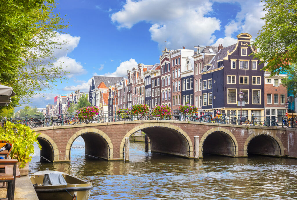
Amsterdam is a city known for its old charm and exciting modern life. It is called the “Venice of the North” because of its canals, which play a significant role in the city’s identity and functionality. In this article, we’ll learn about Amsterdam’s canals, why they’re important, depths of canals, how people use them for transportation, and why tourists love them. Come with us to find out more about Amsterdam’s waterways.
1. How Deep Are Amsterdam Canals?
Amsterdam’s canals exhibit a diverse range of depths, with an average depth of approximately 2.6 meters (8.5 feet). At their lowest points, the canals can extend up to 4.5 meters (14.75 feet) below sea level. This variation in depth is not only geographical but also influenced by factors such as rainfall and seasonal changes. The depth of the canals plays a crucial role in determining the types of vessels that can navigate them.
2. Seasonal Changes and Canal Depth
Water levels in Amsterdam’s canals fluctuate with the seasons. During the rainy months, especially in late autumn and winter, water levels can rise significantly. This increase in water level enhances navigability, allowing larger vessels to access areas that are usually limited to smaller boats. Conversely, during dry spells, particularly in the summer, water levels can decrease, requiring more careful planning for larger boats.
The Importance of Routine Dredging Operations
To maintain a navigable canal system, regular dredging operations are essential. These operations involve removing accumulated silt, debris, and sometimes even discarded bicycles from the canals. By ensuring the waterways remain passable, dredging operations contribute to the overall health of the canal ecosystem, improving water quality and circulation. In the process of dredging almost 15000 bikes are pulled out from 160 canals every year. They also play a vital role in sustaining day-to-day operations and supporting the city’s transportation needs.
Related Post To Read: Why Amsterdam Has Unique Architecture
3. Why Are Amsterdam Canals Built? The Great History
3.1 Exploring Amsterdam’s Rich Canal History:
Amsterdam, the Dutch capital, has a very interesting history especially for its complex network of canals. Founded around 1250, this city whose name is derived from the combination of two words: “Amstel,” which refers to the river that flows through the area, and “dam,” which signifies the dam that was built on the river in the 13th century. Hence, Amsterdam literally means “a dam on the Amstel.”
3.2 The Dam That Started It All:
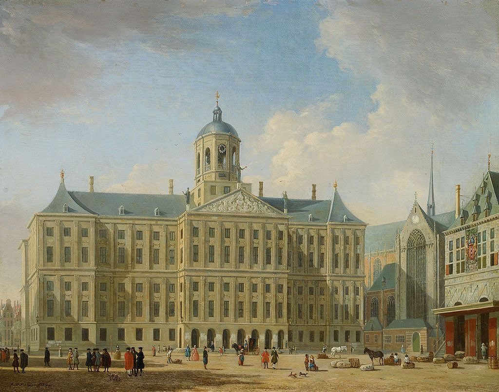
The heart of Amsterdam, both historically and geographically, is the Dam. It was constructed in the 13th century to act as a barrier between the River Amstel and the “Southern Sea.” Although the river leading to the Dam can’t be used for boats anymore, its memory lives on through the name “Damrak,” which refers to the final part of the river before it reaches the Dam. Today, they’re building a subway line along the path of this ancient river, highlighting Amsterdam’s ongoing development and adaptation.
Related Post: The Great History Of Netherlands/Dutch
3.3 Canals: A Tale of Defense and Commerce:
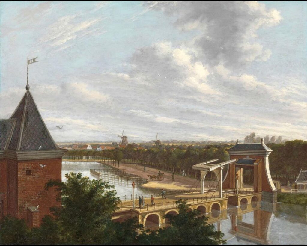
During the Middle Ages, Amsterdam’s canals served a dual purpose: managing water and providing defense. As the city expanded, the defensive canals ended up inside the city walls. They didn’t protect the city anymore, but they became useful for something else – moving things around the city. Warehouses along these moats stored large quantities of products that were transported through the canals to a bustling harbor. From there, ships set off on voyages to distant lands.
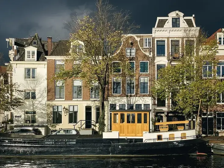
Related Article: Amsterdam Floating Homes Their History & Significance
2.4 The Golden Age of Canals:
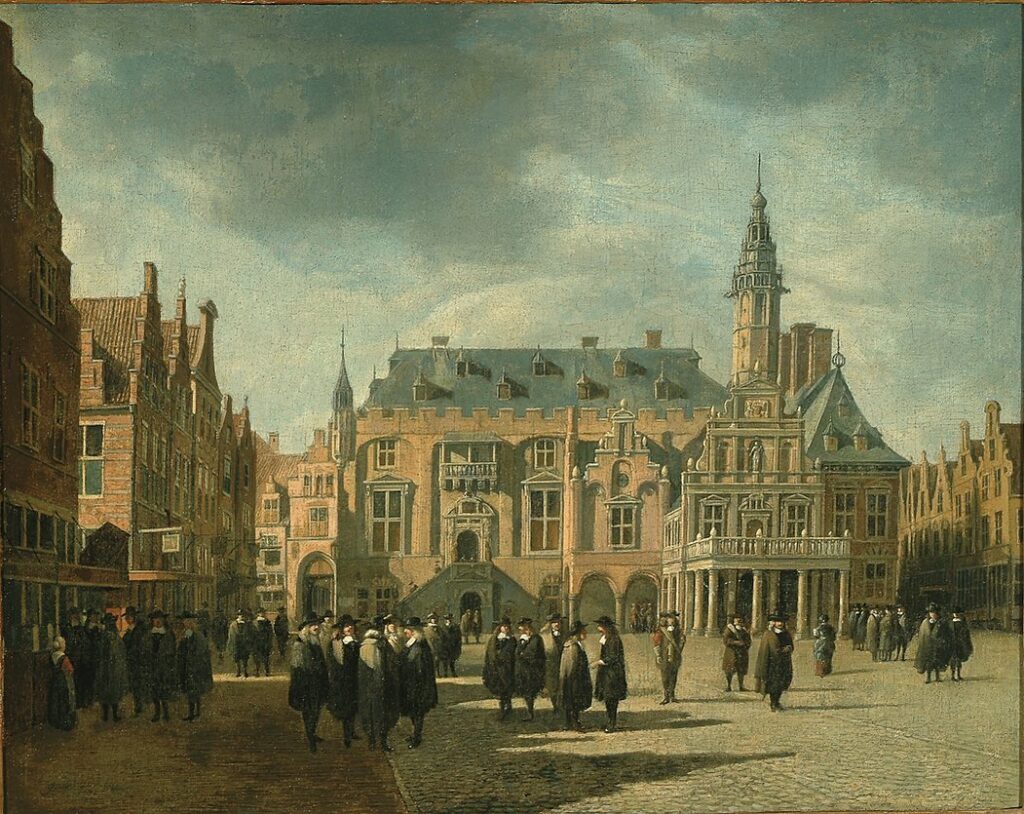
The 17th century was a remarkable period in Amsterdam’s history known as the Golden Age, characterized by significant growth in trade. Over five decades, the city undertook a massive expansion project, resulting in the construction of the three main canals and the adjacent houses. By around 1660, this project had quadrupled the city’s size and established Amsterdam as home to the world’s most intricate and efficient canal system. A complex network of interconnected waterways facilitated the transportation of goods from around the world to the homes of merchants located along the canals.
Thousands of small boats transported cargo from large ships in the harbor to various parts of the city. More than a thousand warehouses situated alongside the canals relied on these manually operated boats, and nine specialized floating markets catered to the daily needs of Amsterdam residents in the 17th century.
2.5 Canals Yield to Roads, Cars, and Traffic:
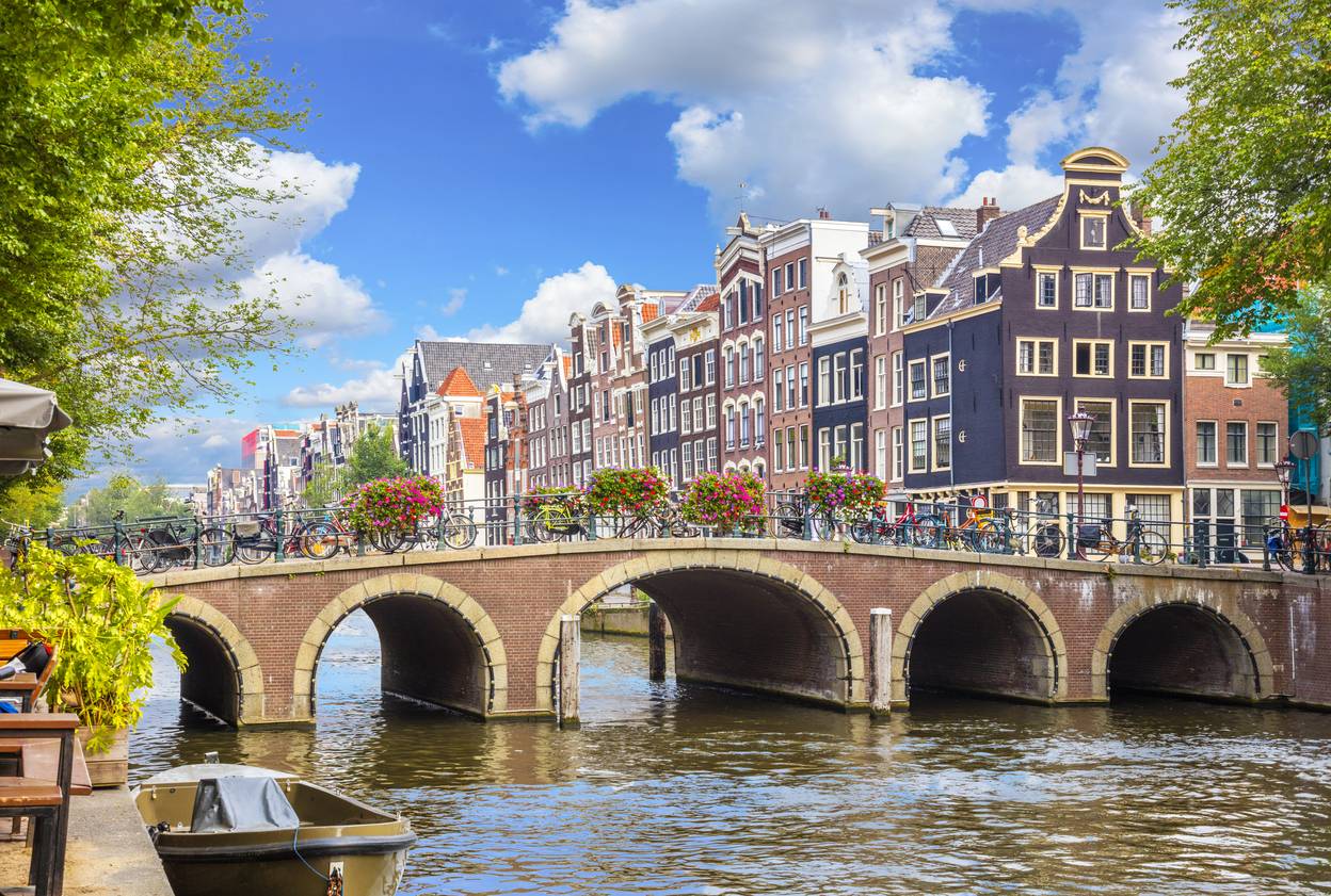
The 20th century brought the rise of cars and land-based transportation, which led to the conversion of several canals in Amsterdam into roads and parking spaces. There was a strong effort to preserve the city’s canals, with passionate protests that successfully saved the famous Seven Bridges of the Reguliersgracht as early as 1901. However, in 1955, a local police commissioner proposed the idea of filling in all the canals to create highways to solve the traffic problems in the city, which met with vehement opposition. The residents of Amsterdam have a profound attachment to their canals.
2.6 Amsterdam Canals Today: A Watery Legacy:
Although nearly half of Amsterdam’s original waterways has been lost to landfills, but an impressive 25 percent of the city’s surface still consists of navigable waterways. With 100 Kilometres of ancient canals, Amsterdam proudly upholds its status as the world’s most watery city.
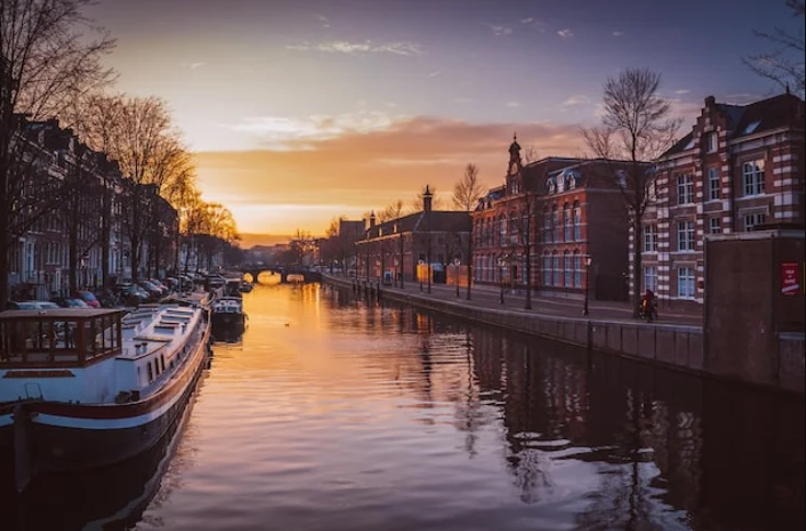
During the summer months, the canals come alive with sailing traffic, primarily dedicated to pleasure cruising. Approximately 15,000 boats are registered in Amsterdam, drawing private yachts from neighboring countries. The city offers eight local marinas, with two new ones currently under construction. Major events like Queen’s Day and the Gay Parade occasionally cause traffic jams on the canals, but on an average day, canal tour boats dominate the scene on these usually serene waterways.
Conclusions
Amsterdam’s canals are a key part of the city’s identity, history, culture, and commerce. These canals have varying depths, influenced by factors like rainfall and seasons. The average depth of approximately 2.6 meters (8.5 feet). At their lowest points, the canals can extend up to 4.5 meters (14.75 feet) below sea level. This variation in depth is not only geographical but also influenced by factors such as rainfall and seasonal changes. However, Routine dredging operations are crucial and in progress to maintain their navigability and overall ecosystem health.





Comments
Very interesting indeed!
It’s best to participate in a contest for top-of-the-line blogs on the web. I will suggest this website!
I truly enjoy looking at on this site, it holds fantastic posts. “Dream no small dreams. They have no power to stir the souls of men.” by Victor Hugo.